Mingus Mountain: Scenic Drive, Hikes, Fall Color, and Camping Near Prescott
Fact-checked How we check
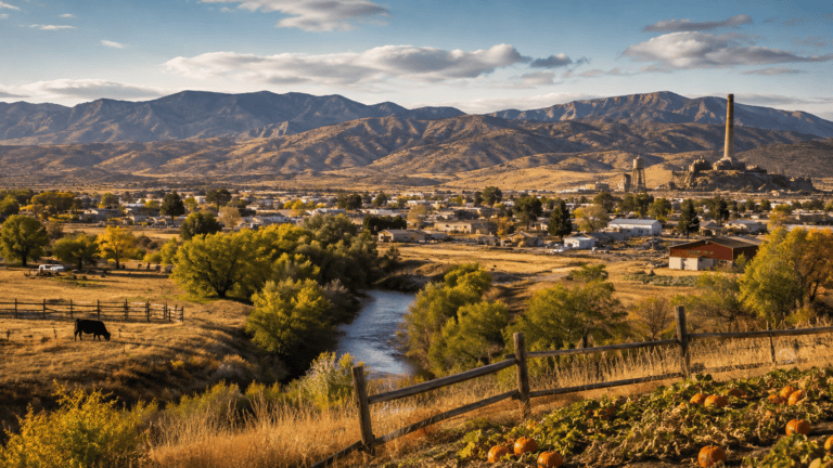
Look east from almost anywhere in Prescott Valley and you’ll see it: a long, dark, forested ridge standing between the Quad Cities and the Verde Valley. That’s Mingus Mountain, and it’s one of the best mountain escapes in central Arizona, close enough for an afternoon and big enough for a weekend. Highway 89A climbs straight over it on a switchbacking scenic road to Jerome, and from the top you can find cool pine forest, campgrounds, a tiny trout lake, steep trails dropping off the rim, one of the best hang-gliding launches in the state, and a view across the Verde Valley to Sedona’s red rocks and the San Francisco Peaks. In October, the maples and oaks on its slopes add some of the best fall color near Prescott. This is our local’s guide to Mingus Mountain: the drive, the viewpoints, the hikes, the campgrounds, and when to go.
| Where | Between Prescott Valley and Jerome on Highway 89A, in the Prescott National Forest (Verde Ranger District) |
| Summit elevation | About 7,800 feet; the highway crosses the pass at about 7,000 feet |
| The drive | ADOT’s Mingus Mountain Scenic Road, about 12 miles of switchbacks; roughly 34 miles from Prescott to Jerome |
| Camping season | May 1 – Oct 31 (Mingus Mountain and Potato Patch campgrounds, reservable on Recreation.gov) |
| Fall color | Maples and Gambel oaks, usually best in October |
| Best viewpoint | Mingus Mountain Vista picnic area and the hang-glider launch, looking over the Verde Valley |
| Ranger district | Verde Ranger District, 928-567-4121 |
Where Mingus Mountain is
Mingus Mountain is the best-known summit in the Black Hills, a long range that runs roughly northwest to southeast between Lonesome Valley (where Prescott Valley sits) and the Verde Valley (home to Cottonwood, Clarkdale, and, perched on the mountain’s eastern slope, Jerome). The top is a broad, forested plateau at about 7,800 feet, crowned with a cluster of communication towers. Here’s a fun bit of trivia for your next hike: despite its fame, Mingus isn’t actually the highest point in the range. That honor goes to Woodchute Mountain, a few miles to the north, which edges it out by a few dozen feet.
The whole mountain sits within the Prescott National Forest and is managed by the Verde Ranger District. From Prescott, it’s an easy trip: head east through Prescott Valley and pick up Highway 89A toward Jerome, and within half an hour you’re climbing into the pines.
Driving the Mingus Mountain Scenic Road
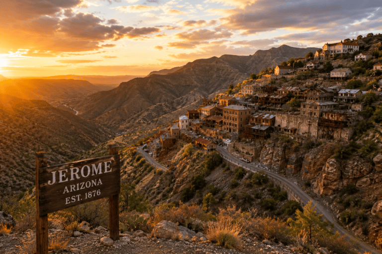
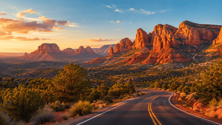
Highway 89A over Mingus is one of Arizona’s classic mountain drives. The Arizona Department of Transportation designated the stretch over the mountain as the Mingus Mountain Scenic Road in 1992, and it covers about 12 miles of curves, switchbacks, and big views. The road itself has a long history: it was first built in the 1920s as the route between Prescott and the copper towns of the Verde Valley and was fully paved by the late 1930s. On the far side, the drive continues down through Jerome, Clarkdale, and Cottonwood as another designated historic road.
Coming from Prescott Valley, the road climbs steadily up Yaeger Canyon through scrub oak and juniper into ponderosa pine, then tops out at Mingus Pass, about 7,000 feet up. That’s where Forest Road 104 heads off to the campgrounds and the summit area, and where you’ll find the Summit Picnic Site. From the pass it’s about 7½ miles of hairpin turns down to Jerome, with the Verde Valley opening up below you on almost every bend. All told, it’s roughly 34 miles from Prescott to Jerome.
This is a two-lane mountain road with tight switchbacks, guardrails, and very little shoulder, and it’s popular with cyclists, so take it slow and use the pullouts to let faster traffic by. Large RVs and trailers should think twice: the hairpins on the Jerome side and through town are tight, and the Forest Service’s Potato Patch Campground listing advises a combined vehicle length of 40 feet or less. In winter, snow and ice can make the pass treacherous; ADOT posts message signs when conditions turn, and it’s worth checking road conditions before you go.
Insider Tip: Drive it east in the morning and back west in the late afternoon. Heading toward Jerome early, the light is behind you over the Verde Valley; coming home late, the low sun lights up the forest on the Prescott Valley side. And if anyone in the car gets carsick, give them the front seat for the Jerome switchbacks.
The views: Mingus Mountain Vista and the launch
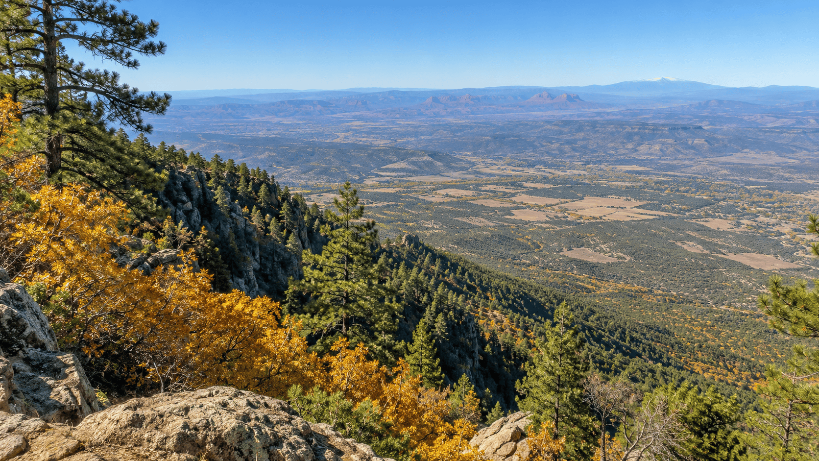
The reason to go to the top is the view, and there are two great places to take it in. The Mingus Mountain Vista picnic area, with no fee, looks out over the Verde Valley toward the red rocks of Sedona, the Mogollon Rim, and Humphreys Peak in the San Francisco Peaks.
The other is the hang-glider and paraglider launch near the summit, which the Forest Service calls Arizona’s premier launch site. A concrete ramp and grassy launch face east off the rim with roughly 4,300 feet of drop to the valley floor, and pilots typically land down near Cottonwood. Visitors are welcome to come watch, and on a good flying day, seeing a glider step off the edge and sail out over the Verde Valley is unforgettable. Flying itself is for rated pilots who belong to the Arizona Hang Gliding and Paragliding Association, and if you park nearby, keep the launch area clear.
Getting to the top: Forest Road 104
At Mingus Pass, Forest Road 104 leaves the highway and climbs toward the summit area. It’s paved for roughly the first couple of miles, then turns to gravel for the last stretch to a four-way junction at the Mingus Mountain Campground, about 2½ miles in. Passenger cars generally manage it fine in good weather. Side roads branch off from here toward the radio towers, the launch, and several trailheads. Road work and forest-thinning projects occasionally close parts of the area, so check the Prescott National Forest alerts page before you go, especially in the shoulder seasons.
Hikes on Mingus Mountain
Mingus’s trails tend to start on top and drop off the rim, which means the views come early and the climbing comes on the way back. Most of them are steep and rocky, and many have little shade, so bring more water than you think you’ll need and save energy for the return. The main options:
- North Mingus Trail #105 starts at the hang-glider launch and descends the mountain’s north face toward Forest Road 338. Doing the whole thing out and back is a long, demanding day of roughly 9 miles with about 1,700 feet of climbing on the return.
- View Point Trail #106 runs from the campground area down about 1.9 miles, dropping some 1,600 feet, with big views over the Verde Valley.
- The North Mingus–View Point loop, linking #105, the #105A connector, and #106, is the most popular way to sample the mountain: roughly 4 miles, strenuous, with little shade and a steep climb back to the top. With two cars you can shuttle it and skip some of the climbing.
- Coleman Trail #108 starts off Forest Road 104A near the radio towers and drops about 2.3 miles down the mountain; the Forest Service rates it difficult.
- Gaddes Canyon Trail #110 begins off Forest Road 104B and makes a moderate out-and-back of a few miles through canyon forest. It’s one of the better picks for October color.
Across the highway from the pass, the Woodchute Wilderness offers a quieter alternative. Woodchute Trail #102, reached from the Potato Patch area off Forest Road 106, climbs into a small wilderness of about 5,900 acres designated in 1984, with views north toward the San Francisco Peaks. The name is a piece of mining history: loggers once sent timber down a chute on this mountain to feed Jerome’s copper mines.
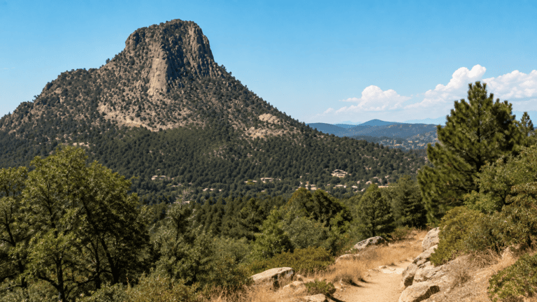
Trail lengths vary between sources and maps, so carry a good map or app and check with the Verde Ranger District if you’re planning something long. For gentler options closer to town, see our Prescott Trail Finder, our guide to beginner hikes, and our guide to hiking Thumb Butte.
Insider Tip: On Mingus, the hard part of almost every hike is the end. Because the trails drop off the rim, you’ll be climbing back up when you’re most tired, often in the afternoon sun. Turn around earlier than you think you need to, and start early to beat both the heat and the summer storms.
Fall color on Mingus Mountain
Mingus is one of the earliest and best places to find fall color near Prescott. The stars of the show are bigtooth maples, which turn brilliant red and orange in the canyons and on shaded slopes (hikers often point to the switchbacks on North Mingus and the lower end of the View Point Trail), and Gambel oaks, which go yellow, gold, and rusty brown across the mountainside. Gaddes Canyon is a favorite for its October oak color. You may spot a few aspens too, but they’re scattered rather than the big golden groves you’ll find up near Flagstaff, so come for the maples and oaks.
Color on Mingus usually peaks in early to mid-October and fades as the month goes on, but a warm fall can delay it and an early freeze or a windy storm can end it quickly. For where things stand this week, check our Prescott Fall Color Report, and for the bigger picture of autumn around town, see our guide to fall in Prescott.
Get the Insider in your inbox
Local events, new places, and weekend ideas in one friendly email.
Camping on Mingus Mountain
Mingus is one of the most popular summer camping escapes for people from Prescott Valley and the Verde Valley, thanks to cool nights at 7,000-plus feet. The developed campgrounds are generally open from May 1 through October 31.
- Mingus Mountain Campground sits near the top, around 7,500 feet, at the end of Forest Road 104, with tent sites, RV sites, and a group site. As of 2026, sites are reservable on Recreation.gov, with only a few first-come spots. Electric hookups at the campground have been out of service after lightning damage, so plan to be self-sufficient, and check current status when you book.
- Potato Patch Campground, around 7,200 feet, is reached from Forest Road 106 on the west side of the pass. It has a larger loop of standard sites and a second loop with electric hookups (no tents), plus drinking water, and it’s the closest campground to the Woodchute and Yaeger Canyon trailheads. It’s also reservable.
- Playground Group Campground, off Forest Road 104, can host groups of up to 100 by reservation, a popular choice for scout troops, church groups, and family reunions.
Dispersed camping isn’t allowed within the Mingus Mountain recreation area boundary, so plan to stay in a developed site, and the usual Forest Service limit of 14 days applies. Fire restrictions are common in dry months; check before you build a campfire.
Mingus Lake
Tucked into the forest near the top is Mingus Lake, a tiny lake of about three acres that the state stocks with rainbow trout. It’s a peaceful spot for a picnic or a few hours with a fishing rod, and kids love it. There’s a $5 day-use fee per vehicle, and anglers 10 and older need an Arizona fishing license. Facilities wind down after the camping season, but the lake stays reachable later into the fall as long as the weather allows.
A little history
The mountain’s name is usually credited to Jacob and Joseph Mingus, brothers who ran a sawmill near its base in the 1880s, though some accounts point instead to a prospector named William Mingus who worked the area in the 1870s. Either way, the mountain’s history is bound up with Jerome. When the copper mines below were booming, timber from these slopes went into the mines and the smelters, sent down the mountain by chute and rail, which is where neighboring Woodchute Mountain got its name. The mines finally closed in 1953, and Jerome went from boomtown to near ghost town to the arts community it is today.
The Civilian Conservation Corps left its mark here in the 1930s, and the Mingus Mountain Lookout, a 60-foot steel fire tower built in 1935 to replace an earlier wooden one, is listed on the National Register of Historic Places. It isn’t open to the public (it’s fenced off), but you can see it from the summit area. Fire has shaped the mountain too: a major mid-century wildfire burned a large part of the mountain, and today the Forest Service thins the forest and burns slash piles around the summit to reduce the risk of another big one, which occasionally closes roads and trails for a few days.
Mingus through the seasons
Summer is Mingus’s busiest season, when the cool pines are a welcome break from the valley heat. From mid-June to mid-September, though, afternoon thunderstorms build almost daily, and the exposed rim and launch are dangerous places in lightning, so get your hiking done by early afternoon. Fall is the sweet spot, with crisp air, clear views, fewer people, and maple and oak color in October. Winter can bring real snow to the top; the campgrounds close after October, the highway can ice up, and the side roads may be impassable, so treat any winter visit as a scenic drive and check conditions first. Spring is breezy and fresh, a good time for long views before the campgrounds open in May.
Pair it with Jerome
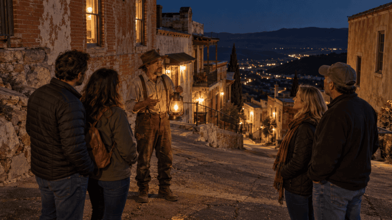
The best way to do Mingus is as part of a day trip to Jerome, about 7½ miles down the other side of the pass. Drive up in the morning, take in the view from the vista or the launch, maybe walk a little of a trail or have a picnic, then roll down the switchbacks for lunch, galleries, and history in Jerome. Our Jerome day trip guide covers the town, and in October our guides to Halloween in Jerome and the Jerome Ghost Walk add a spooky twist. Coming back, you’ll pass through Prescott Valley, which makes an easy stop for dinner on the way home.
Insider Tip: Pack a picnic and eat it at the Mingus Mountain Vista before heading down to Jerome. It’s free, it’s quiet, and lunch with a view across the whole Verde Valley to Sedona’s red rocks beats any restaurant table on the mountain.
Know before you go
- Check alerts first. The Prescott National Forest posts road work, thinning, prescribed burns, and fire restrictions online, and the Verde Ranger District (928-567-4121) can answer questions.
- Bring water and layers. The top sits more than 2,000 feet above Prescott Valley and is noticeably cooler and windier, and there’s little reliable water on the trails.
- Watch the sky. Summer storms build fast over the rim; be off exposed ground by early afternoon.
- Mind the road. Expect switchbacks, cyclists, and slow traffic on 89A, and skip it in a long RV or trailer.
- Book campsites early. Summer weekends fill up now that the main campground is on Recreation.gov.
- Leave no trace. Pack out trash, especially after the campgrounds close for the season.
Mingus Mountain is one of those places that feels much farther from town than it is. In less than an hour you can trade the valley floor for cool pines, a view that stretches to Sedona and Flagstaff, and, if you time it right, a mountainside full of red maples. Whether you’re camping for the weekend, hiking off the rim, watching gliders launch, or just driving over the top on the way to Jerome, it’s one of the essential high-country trips from Prescott. For more ideas, see our roundup of outdoor things to do in Prescott.
Something changed? Let us know
Enjoyed this? Get more Prescott in your inbox
Weekend picks, new places, and local events from people who love Prescott. Free, and you can unsubscribe anytime.